- Release Year: 2005
- Platforms: Macintosh, Windows
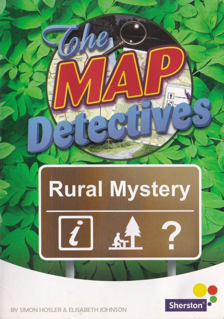
- Publisher: Sherston Publishing Group
- Developer: Anju Singhal, Prabha S.
- Genre: Educational, Geography
- Game Mode: Single-player
- Gameplay: Clue collection, Exploration, Map reading, Navigation, Point-and-click
- Setting: Rural
Description
The Map Detectives: Rural Mystery is an educational game where players act as detectives to solve the burglary of pop superstar Rick Spangle. By navigating detailed rural maps—either cycling or walking through real photographic scenes—players must locate various guests to collect clues about the thief among twelve suspects. This interactive adventure emphasizes geography and map-reading skills through puzzle-solving, with replayable scenarios and customizable difficulty settings.
The Map Detectives: Rural Mystery: Review
Introduction: A Ghost in the Machine of Educational Gaming
In the vast, often-overlooked archives of educational software, certain titles shimmer with a peculiar resonance—not for their graphical fidelity or commercial scale, but for the indelible imprint they leave on the formative psyche. The Map Detectives: Rural Mystery (2005) is one such ghost. For a generation of UK schoolchildren in the late 1990s and early 2000s, it was less a game and more a sanctioned ritual: the weekly pilgrimage to the lone computer in the library, the rustle of laminated “feelies,” and the singular thrill of navigating real English countryside lanes via adigitized, mouse-driven proxy. This review argues that Rural Mystery is a profound case study in constrained, purposeful design. It is a masterpiece of pedagogical minimalism that leverages technological limitation into immersive authenticity, creating an experience where the map is not merely a menu or background but the literal and figurative spine of the adventure. Its legacy is not in influencing blockbuster franchises but in exemplifying a lost philosophy of “edutainment”: one where learning is the process of play, not an interruptive quiz, and where the magic lies in a child’s genuine belief they are a detective with a real case to solve.
Development History & Context: The Sherston Method and the “Feelie” Aesthetic
To understand Rural Mystery, one must first understand its creator, Sherston Software, and the ecosystem it inhabited.
The Studio and Its Ethos: Founded in 1983, Sherston was a stalwart of the UK educational market, a cottage industry that thrived on BBC Micros and Acorn Archimedes before transitioning to Windows and Mac in the 1990s. They were not futurists dreaming of 3D worlds; they were pragmatic craftsmen focusing on curriculum-aligned, rock-solid applications. Their titles—Mapventure (1988), The Crystal Rainforest (1996)—prized clarity, replayability, and teacher-friendly controls. The creative nucleus often revolved around designer Simon Hosler and artist Elisabeth Johnson, a duo whose collaboration defines the Map Detectives series’ visual and mechanical identity.
Technological Constraints as Creative Fuel: The mid-to-late 1990s saw the PC entering schools, but resources were tight. A “powerful” PC might have a 66MHz processor and 8MB of RAM. This forced a brilliant aesthetic decision: the use of digitized, real-world photography. Instead of laboriously modeling a countryside, Hosler, Johnson, and photographer Elisabeth Johnson simply drove around Wiltshire, snapping junctions, lanes, and landmarks. This wasn’t a cost-cutting measure; it was a design masterstroke. It granted the game an instant, unassailable verisimilitude. The “handlebars” animation during cycling or the “footpath” view while walking were simple slide-show loops, but because the source images were genuine, the player’s suspension of belief was complete. This practice predated Google Street View by nearly a decade and created a sense of place no sprite-based art could.
Evolution of a Series: From 1997 to 2005: The source material reveals a complex publication history. The original 1997 The Map Detectives (a triple-format CD for PC, Mac, and Acorn Archimedes) featured a different case structure—a “Village Mystery” and “Daylight Robbery” scenario—where the stolen object was unknown at the start. By 2005, Sherston re-engineered and split the concept into two distinct products: Rural Mystery and Urban Mystery. The 2005 Rural Mystery streamlined the premise: the stolen item is known (one of Rick Spangle’s “treasured possessions”), and the goal is identifying the thief via suspect characteristics. This shift from object-hunt to whodunit logic refined the gameplay loop but arguably sacralized the map-reading skill as the sole investigative tool. The 2005 versions also introduced formalized configuration options (guest count, day/night mode), suggesting Sherston was responding to teacher demand for adjustable difficulty.
The “Feelie” Phenomenon: A critical, often-dismissed aspect is the physical supplemental material—the laminated suspect cards, the large fold-out A3 maps. As the Computing History article passionately recounts, these “feelies” were not afterthoughts but integral to the experience. They allowed the game to divorce the navigation from the planning. The player could spread the physical map on a desk, plot routes with a pencil, and then execute them digitally. This hybrid physical/digital workflow was a brilliant way to teach map legend comprehension, scale, and route-planning offline, making the on-screen navigation a test of execution, not just discovery. The fact that teachers sometimes laminated their own copies speaks to the game’s centrality in classroom activity, not just its shelf-life as a commercial product.
Narrative & Thematic Deep Dive: The Banality and Brilliance of the Burglary
The narrative of Rural Mystery is deliberately, almost aggressively, simple.
The Premise: Pop superstar “Rick Spangle” (a name that winks at the adult supervisor) hosts a party. A burglary occurs. A thief among twelve named, archetypal suspects—”Shady Sashi,” “Crooked Chrissy,” “Dodgy Doris”—has stolen an item. The player, an anonymous “detective,” must traverse the countryside, interview four scattered guests (who are not suspects themselves but witnesses), collect four clues about the thief’s attributes (e.g., “Local? Yes/No,” “Transport: Car/Bike,” “Wears: Hat/Spectacles”), and deduce the culprit.
Thematic Underpinnings:
1. The Geography of Absence: The core genius is that the crime scene is gone. The party is over, the guests have dispersed. The game is about reconstructing a social event through spatial logistics. Where someone was, how they got there, what they saw—all become pieces of evidence. This transforms geography from a school subject into a tool for temporal reconstruction.
2. Information as a Physical Commodity: Clues are not whispered in a cutscene; they are objects handed over by a 2D photographed character after a successful journey. The value of information is directly tied to the player’s ability to navigate. There is no abstract “solve the puzzle” reward; the reward is more information, acquired through mastery of the map.
3. The Anti-Carmen Sandiego: Unlike Where in the World is Carmen Sandiego?, which uses geography as a clue (“she caught a flight to a country starting with ‘B'”), Rural Mystery uses geography as the entire methodology. There are no trivia questions about capitals. The entire deductive process hinges on understanding map symbols, grid references, and route planning. The “whodunit” is almost secondary to the “how-do-I-get-there-and-back-again.”
Character & Dialogue: Functional Caricature: The twelve suspects are not characters but data vectors. Their four predetermined traits are the lock; the four clues are the key. Their names are alliterative and descriptive, serving as easy mnemonics for children (“Tricky Trevor” is probably tricky). The interviewed guests provide the clues in simple, direct statements. This is not a narrative-driven experience; it is a logic-grid puzzle wrapped in a spatial shell. The story is a McGuffin to justify the map-reading.
The 1997 Original’s Lost Mechanic: The earlier 1997 version, as noted by the Computing History article, began with a “photographs of a character’s home” segment where the player had to deduce the stolen item by comparing pre- and post-burglary photos. This is a fascinating, almost Myst-like perceptual deduction step that was later removed. Its absence in the 2005 version streamlines the focus but loses a layer of observational “detective work” that didn’t involve maps, making the experience more thematically pure but slightly less varied in its investigative modes.
Gameplay Mechanics & Systems: The Map Is the Game
This is where Rural Mystery achieves its improbable elegance. There is no combat, no inventory, no stats. The entire UI is a detective’s toolkit.
The Tripartite Interface: The screen is perpetually divided:
* Top 2/3: The “Viewport.” This shows the first-person perspective of travel. On the cycling map, it’s handlebars bobbing; on the walking map, a footpath. At junctions, red arrow overlays appear (some hidden, requiring mouse-hover discovery). Named locations (e.g., “The George & Dragon Pub”) appear as still images. This is a proto-interactive panorama, a literal clickable photograph of a place.
* Bottom Left: The Notebook. Its three tabs are the game’s brain:
* Task: Lists the four target guests with their map grid references.
* Info: Crucially, this constantly updates with your current grid reference and location name. For the walking map, which uses alphanumeric references (e.g., “TL 345 678”) with no named roads, this tab is mandatory. It is the only way to know your position relative to the map. This elegantly teaches coordinate reading through necessity.
* Clues: A text log of gathered suspect attributes.
* Bottom Right: The Minimap. Shows your position as a dot on a simplified version of the full map, with a directional arrow. This provides instant spatial orientation, reducing frustration but still requiring you to correlate the symbolic minimap with the photographic viewport.
Core Loop: The Ritual of Investigation
1. Consult the Task tab for a guest’s grid reference.
2. Consult the physical (or digital) map to plot a route from your current location.
3. Navigate the viewport, making turns at junctions (some obvious, some hidden).
4. Arrive at the location photo. Click to “interview” the guest.
5. Receive a clue, automatically logged in the Clues tab.
6. Repeat until four clues are collected.
7. Open the suspect gallery, match the four attributes, click “Arrest.”
Innovations and Flaws:
* Innovation: The system treats map-reading as the primary verb. You cannot “fast travel.” You must understand the map’s legend, scale (implied by distance and time), and coordinate system to succeed. The “Explore Mode” is a genius addition, allowing pure, goal-less navigation, which is arguably the most valuable educational tool in the suite.
* Innovation: Dynamic Replayability. The culprit, stolen item, and guest locations/grid references are procedurally shuffled each game. The logic grid changes, forcing you to re-interrogate your map-reading skills each time, not just memorize a solution.
* Flaw: The “Puzzle” is Thin. The deductive logic is binary. With four yes/no (or two-choice) clues, there will always be exactly one suspect matching. There is no room for false leads, red herrings, or ambiguous testimony. This makes the “mystery” feel like a formality once the clues are gathered.
* Flaw: Limited Scope. The cycling and walking maps are static. The world exists only for the case. There is no broader simulation, no day-night cycle affecting travel (the “Night Mode” is just a visual filter), no real consequences for wrong turns (you can wander infinitely). The stakes are purely intellectual.
Configuration as Pedagogy: The options to use one map, find two/six guests, or toggle night mode are profound. A teacher can start a child on the simplest task: “Use the cycling map to find two guests.” Once confident, increase complexity: “Now use the walking map.” This scaffolding is built directly into the game’s architecture, a feature many modern “educational” games lack.
World-Building, Art & Sound: The Wiltshire Photographic Realism
The Setting: A Named, Revised Reality. The game is set in the fictional “County of Sherston,” but as Simon Hosler confirmed, the photographs are of real locations around Sherston Software’s Wiltshire home, with road names altered. This is a hyper-localized authenticity. For a UK child, these could be fields and villages like their own; for a foreign child, it’s an exotic, specific England. The physical map included with the game (the double-sided bonus content) further grounds it in a tangible, paper-based reality.
Visual Direction: The “Slide-Show” Verisimilitude. The graphics are static JPEGs. The animation is a simple pan across the image or a bobbing handlebar frame. Yet, this austerity works. Because the source is photography, there is no “uncanny valley” of low-poly 3D. It simply looks real. The junctions are real crossroads. The “hotel” is a real building. The UI, with its Comic Sans font (as the museum article rightly notes) and bright, functional buttons, screams “1990s school software,” but it is clean, legible, and nondistracting. The suspect portraits are simple, colorized caricatures that match the archetypal names—a stylistic shift from the photographic world, clearly demarcating “person” from “place.”
Sound Design: Atmospheric Suggestion. The soundscape is minimal. A low, ambient “countryside” drone (wind, distant birds) underlies navigation. A cheerful, ascending arpeggio signals successful clue acquisition. A definitive “clunk” marks the arrest. The narration (by Matt Daw) is clear, measured, and distinctly British. It provides the case brief and repeats clues, but never talks over your thoughts. The sound doesn’t tell you what to feel; it provides an auditory canvas for your own mental drama.
Contribution to Experience: The combination creates a powerful cognitive dissonance that feels like immersion. Your brain knows the graphics are simple slideshows, but your eyes see real hedgerows and real pub signs. Your mind fills in the movement between the static frames. You are not playing as an avatar; you are driving yourself through Wiltshire. The sound and UI confirm you are in a “game,” but the art insists you are in a “place.” This tension is the source of its unique, haunting quality.
Reception & Legacy: The Quiet Giant of the Classroom
Contemporary Reception (2005): There are no mainstream critic reviews. Rural Mystery existed in a parallel universe to GameSpot or Edge. Its reception was purely pedagogical and institutional. The MobyGames “GA Award Results – Highly Commended” (from the Turning Point Technology listing) hints at its standing within special education and resource-room circles. Its true review was the school’s recurring purchase order. The anecdotal evidence from the Computing History article is the real critical testimony: a game so memorable it launched a decade-long personal quest for identification. It succeeded not by being “fun” in a conventional sense, but by being memorable and meaningful.
Evolution of Reputation: Today, Rural Mystery is a preservation priority and a cult artifact. Its reputation has grown because of its obscurity and the nostalgic passion it incites in those who played it. It represents a specific moment:
1. The pinnacle of the “feelie”-enhanced educational game.
2. The last gasp of a certain kind of British school software—locally produced, curriculum-tight, aesthetically particular—before market consolidation and the rise of globally distributed, flashier edutainment.
3. A fascinating case study in using real photography for world-building years before it was common.
Influence and Industry Impact: Its direct mechanical influence is likely zero on the commercial AAA space. However, its DNA can be traced in two areas:
* Serious Games/Simulation: The concept of using a real-world map/interface as the primary interaction method is echoed in tools like Wikipedia’s “WikiMiniAtlas” or geographic data visualizers. Rural Mystery was a kid’s version of a GIS pioneer.
* The “Walk Simulator” & Immersive Sim Ethos: Games like Dear Esther or The Stanley Parable eschew traditional Verbs for exploration and environmental storytelling. Rural Mystery did this with the verb “Navigate” and the story “Solve a Burglary.” It treated the environment as the puzzle, a philosophy that would later permeate indie gaming.
* Preservation Philosophy: Its rediscovery via a museum volunteer’s stream and subsequent file analysis (as documented on Phil’s site, linked in the article) perfectly encapsulates modern video game preservation: identifying cultural value in non-commercial, institutionally-distributed software.
A Note on the 1997 Version: The earlier, tri-format The Map Detectives (1997) is the true historical artifact. It represents a more ambitious, modular design (unknown stolen item, multi-stage mystery) and was likely the version many schools actually used in computer labs. Its obscurity and scarcity make it the “holy grail” for preservationists, while the 2005 Rural Mystery is the more polished, retail-ready distillation of that original concept.
Conclusion: The Definitive Verdict
The Map Detectives: Rural Mystery is not a “great game” by the metrics of interactivity, challenge, or narrative depth. By those standards, it is simple, brief, and rudimentary. It is, however, a perfect game for its specific purpose and context. It is a masterclass in applied constraint, where every design decision serves the singular pedagogical goal of teaching map reading through enacted, meaningful use.
Its genius lies in its ruthless focus. The theft of Rick Spangle’s treasured possession is a thin veil for a profound truth: the game is about the joy and utility of knowing where you are and how to get where you need to be. It trusts the player to be a detective, not a consumer of cutscenes. It uses the technological limits of its era—static photos, simple UI—to create an authenticity that modern, high-fidelity open-world games often strive for and fail to achieve.
In the pantheon of video game history, it holds no place for its technology, influence, or sales. It holds an essential place in the history of educational software design as a benchmark of purity. It is a testament to an era when a small British studio could create a title so conceptually tight and immersive that it would burrow into a child’s memory for twenty years, prompting a personal investigation to recover it. For that reason alone, The Map Detectives: Rural Mystery is not just a forgotten CD-ROM; it is a cherished artifact of a specific kind of digital literacy, a quiet revolution played out on a Windows 98 PC in a quiet school library, its only lasting graphics the maps forever etched in the mind of the detective who once held the mouse.